Training points for mapping biomes
Backgrounds
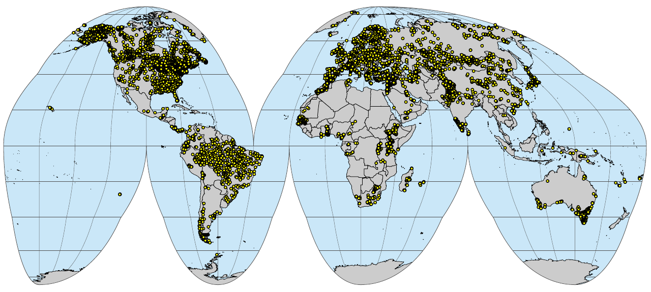
This script explains steps used to produce a compilation of training points to map global biomes. These steps are also explained in detail in Hengl et al. (2018). The biomes data set is also explained in detail in Bonannella et al. (2023).
Processing steps
How to cite
To cite this data set please use:
@book{pnv.biomes_2023,
  author       = {Hengl, T.},
  title        = {{Potential distribution of biomes (Potential
                   Natural Vegetation) at 250 m spatial resolution}},
  year         = {2024},
  publisher    = {OpenGeoHub foundation},
  address      = {Wageningen},
  version      = {v0.2},
  doi          = {10.5281/zenodo.3526620},
  url          = {https://openlandmap.github.io/compiled-ess-point-data-sets/}
}
References
Bonannella, Carmelo, Tomislav Hengl, Leandro Parente, and Sytze de Bruin. 2023. “Biomes of the World Under Climate Change Scenarios: Increasing Aridity and Higher Temperatures Lead to Significant Shifts in Natural Vegetation.” PeerJ 11: e15593. https://doi.org/10.7717/peerj.15593.
Hengl, Tomislav, Markus G Walsh, Jonathan Sanderman, Ichsani Wheeler, Sandy P Harrison, and Iain C Prentice. 2018. “Global Mapping of Potential Natural Vegetation: An Assessment of Machine Learning Algorithms for Estimating Land Potential.” PeerJ 6: e5457. https://doi.org/10.7717/peerj.5457.